Showing posts with label photography. Show all posts

Sunday, December 21, 2008

Now on Flickr

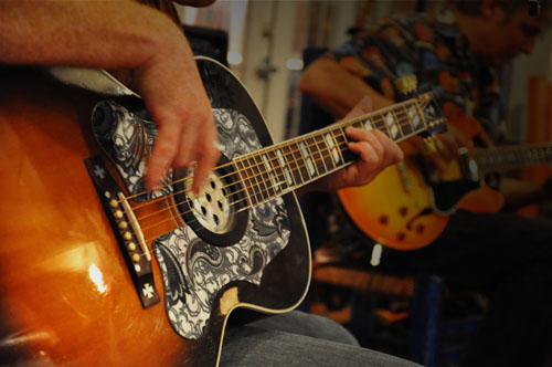
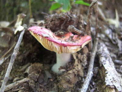
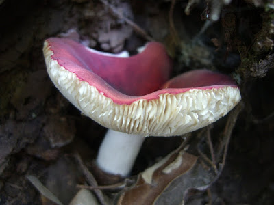
Well, I finally did it. I've broken down and created a Flickr account. I've actually had one for a little while but I hadn't really use it until recently. I guess I just instinctually resist popular services if I wasn't one of the first on board. Flickr has a lot going for it, though. The collaboration and sheer amount of uploads has stolen me away from Picasa Web.

Check out my Flickr Photostream here

One of the things that I loved so much about Picasa Web was it's fantastic integration with Picasa, the photo organizer. But I was soon disappointed with the way that Picasa handled geotagged information. It didn't like the way my application added data to the EXIF tag and would frequently refuse it altogether. So now I've switched.

I've gotten my hands on a copy of Adobe's Lightroom 2.0. So far, it seems very cool. I've even found a couple of cool plugins which automate the task of uploading photos to BOTH Picasa Web AND Flickr. Very cool.

Thursday, December 18, 2008

Guitarist Pics from La Huerta


I got another chance to play around with my new D90 when Angel wasn't hogging it. Here's a link to all of the shots. None of these are retouched, but they're still nifty.

Monday, December 15, 2008

Angel's Sculpture/My New Camera


First, here is Angel's sculpture that she's been working on for a little while. It's still a work in progress. Hopefully she will finish it soon so that I can steal it for my office.

Second, this was taken with my brand spankin' new Nikon D90 with my also brand spankin' new Sigma 17-70mm lens. I LOVE this camera/lens so far. This was shot at 3200 ISO! If you don't know why that's so impressive, just take my word for it- it is. Much more to come, I'm sure.

Thursday, October 30, 2008

Hiking White River Bluff in Syllamore

Wow. Angel and I absolutely LOVED this trail and this area. I took some vacation this week and we decided to drive about 4 hours from Fort Smith over to Mountain View, Arkansas.

We stayed in a great little "cottage" called the Lincoln Street Cottage which turned out to be a nice little two bedroom house not far from non-alcoholic downtown. The nightly fee was only $65 which was $15 less than the Best Western in town which did not look very nice. Our cottage, on the other hand, had a private driveway, a sun room, full kitchen, and was kept immaculately clean. This was easily the best deal in town and I highly recommend them if you plan a visit to Mountain View.

Now to the trail.


We got started around 10:30 am, but because of the slope of the hillside, the light was like early morning. It was a brisk 50 degrees or so outside and there was still dew on the leaves as we began. I'm not generally the kind of guy who throws around adjectives like "magical," but I have to say that this trail was exactly that: magical. The first portion of the trail is filled with quartz peppered stones that shimmer as you pass which is just surreal. Further up, the trail turns to flint under foot and displays fantastic water shaped pale white outcroppings.

It also seems as though we picked the right time of the year to visit as the leaves were changing brilliantly and were out in full force. The trail winds through evergreen and deciduous forested portions which provide a varied path of soft pine needles and colorful fallen leaves.

The trail winds about along a ridge line which means that the elevation does not change very much, making for a nice gentle hike. At about mile 3.5, the rail opens up to a vista of the White River cutting through the community of Syllamore.

I'll stop typing at this point and let the pictures speak for themselves.

Hiking Lake Wister

I have very few nice things to say about our hike around Lake Wister. I'll go ahead and type them now: The weather was nice and... I can't really think of anything else. This park is terrible for hiking. There was no parking around around the trail head; we actually had to pull off to the side of a narrow dirt road. I guess we were lucky to find the trail head as it wasn't really marked. There was a receptacle for trash about a tenth of a mile away from where the trail started on a double track dirt road leading up to what we concluded was an aerator for the deep end of the lake. The trail was suppose to be about a 5 mile end loop. Unfortunately, we were only able to hike about two miles up, then double back as the trail was not marked and was overgrown. I guess this park is more about water sports than hiking, which is fine, I guess. It's just a shame to have so much acreage and potential for great trails without much improvement at all.

Here are a few shots from the trail.

Hiking Runestone Park

My sister and brother in law decided to come down and go hiking with Angel and me over the past weekend. We decided to go check out Runestone Park. Angel and I went here about a year ago and walked around the paved trail that leads down to the actual runestone (which is pretty cool), but hadn't really explored much of the surrounding grounds. I accidentally erased my GPS track for our little hike, resulting in a lot of cursing, no geotagged photos, and no data, but oh well. I estimate that it was around a mile and a half hike around the grounds. The path that we took may have actually been a deer trail as it was somewhat oergrown in areas, crossed over a dry runoff creek, and ha a fairly challenging climb towards the end. Also telling, the trail ended on the wrong side of a fence that we had to jump over to get back on the path. Oh well. I didn't take a lot of pictures on this one, but the results are below. We were at least able to add to our mushroom series.

Tuesday, October 07, 2008

Hiking Spy Rock

My shoulder's sore. My hip is clicking. I have a blister the size of my big toe on my little toe and a pulled groin muscle. Other than that, I'm ship shape and happy after a trailblazing 9 mile trek around Spy Rock in Franklin County, Arkansas. The loop around is about 6 miles, but Angel, her brother, and myself decided to add on a side trip up to Spy Rock which tacked on another 2 miles. On top of that, the last leg of the trail back to the car was too overgrown to traverse, so we had to track around onto a forest service road which added on another mile.

Our total ascent was just a bit shy of 1900 feet with an altitude change of over 1000 feet in a total of 5 hours. The numbers make me feel better about my ass being kicked so bad by this hike. I don't think I'll be getting on the treadmill until at least Wednesday.

The trail was pretty nice. Its not very well traveled and was in need of some clearing and maintenance but that was a small price to pay for not seeing another soul all afternoon. There was a storm that blew by the day before the hike which made a few of the little tributaries trickle, but there were no moving waterfalls, unfortunately. We may have to go back in the spring as there were several places that I'm sure will look very nice in the wet season.

We were able to add a few shots to our mushroom series. Check out a few of them below. Here's a link to all the decent shots of the day.

Here is also a map of where they were all taken.

Sunday, September 28, 2008

Picasa 3.0 Is The Shizzle


Picasa 3.0 rules my world. Check out the full resolution Collage Example from above. I've been playing round with the pictures that we took on our hiking trip today and stumbled across the new version of Picasa. I honestly couldn't tell you if the last version of Picasa had a Collage tool or not, but I can tell you that the curret version does and it's pretty cool. You can make contact sheets and all kinds of cool stuff. Plus it links up with Picasa Web Albums which I prefer over Flickr, Photobucket, and all the rest for the geotagging capabilities and bulk uploading. Plus it integrates perfectly with my blog which is powered by Blogger.com.

I really hope Google never pairs down it's services or starts charging.

Hiking Lake Fort Smith

Angel and I decided to go for a hike today at the recently reopened Lake Fort Smith State Park. The weather was beautiful but the park was a little bit of a disappointment. I recall riding mountain bikes here when I was younger, but unfortunately, most of the trails I used to run with my dad were flooded by the expansion of the lake. The only trail that remains is the beginning leg of the Ozark Highland Trail. To be honest, my legs were aching before we even began from jogging on the new treadmill, but we set out anyway.

We only made it about 1.5 miles up the trail and back. It's a fairly rugged trail in some parts, but isn't too strenuous. I got some really cool pictures along the way. Angel kept pointing out mushrooms as we went so we amassed a great little series. I also got to play with a new technique that I've only tested before called Geotagging. Basically, you turn on a gps that has the capability to timestamp while you walk around and snap pictures with a digital camera that has the capability to timestamp jpegs. Put the two data logs together with a nifty little application and presto-bango, the GPS data is embedded in the picture file enabling programs like Google Earth, Picasa, and several other programs and services to plot the pictures on a map. Check out my example.

Here are a few of the mushroom series pictures. To see more, click here...


Fort Smith, Arkansas
...just narcissistic enough to own a blog.