Wow. Angel and I absolutely LOVED this trail and this area. I took some vacation this week and we decided to drive about 4 hours from Fort Smith over to Mountain View, Arkansas.
We stayed in a great little "cottage" called the Lincoln Street Cottage which turned out to be a nice little two bedroom house not far from non-alcoholic downtown. The nightly fee was only $65 which was $15 less than the Best Western in town which did not look very nice. Our cottage, on the other hand, had a private driveway, a sun room, full kitchen, and was kept immaculately clean. This was easily the best deal in town and I highly recommend them if you plan a visit to Mountain View.
Now to the trail.
We got started around 10:30 am, but because of the slope of the hillside, the light was like early morning. It was a brisk 50 degrees or so outside and there was still dew on the leaves as we began. I'm not generally the kind of guy who throws around adjectives like "magical," but I have to say that this trail was exactly that: magical. The first portion of the trail is filled with quartz peppered stones that shimmer as you pass which is just surreal. Further up, the trail turns to flint under foot and displays fantastic water shaped pale white outcroppings.
It also seems as though we picked the right time of the year to visit as the leaves were changing brilliantly and were out in full force. The trail winds through evergreen and deciduous forested portions which provide a varied path of soft pine needles and colorful fallen leaves.
The trail winds about along a ridge line which means that the elevation does not change very much, making for a nice gentle hike. At about mile 3.5, the rail opens up to a vista of the White River cutting through the community of Syllamore.
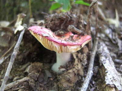
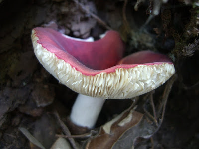
I'll stop typing at this point and let the pictures speak for themselves.
We stayed in a great little "cottage" called the Lincoln Street Cottage which turned out to be a nice little two bedroom house not far from non-alcoholic downtown. The nightly fee was only $65 which was $15 less than the Best Western in town which did not look very nice. Our cottage, on the other hand, had a private driveway, a sun room, full kitchen, and was kept immaculately clean. This was easily the best deal in town and I highly recommend them if you plan a visit to Mountain View.
Now to the trail.
We got started around 10:30 am, but because of the slope of the hillside, the light was like early morning. It was a brisk 50 degrees or so outside and there was still dew on the leaves as we began. I'm not generally the kind of guy who throws around adjectives like "magical," but I have to say that this trail was exactly that: magical. The first portion of the trail is filled with quartz peppered stones that shimmer as you pass which is just surreal. Further up, the trail turns to flint under foot and displays fantastic water shaped pale white outcroppings.
It also seems as though we picked the right time of the year to visit as the leaves were changing brilliantly and were out in full force. The trail winds through evergreen and deciduous forested portions which provide a varied path of soft pine needles and colorful fallen leaves.
The trail winds about along a ridge line which means that the elevation does not change very much, making for a nice gentle hike. At about mile 3.5, the rail opens up to a vista of the White River cutting through the community of Syllamore.
I'll stop typing at this point and let the pictures speak for themselves.
 Here's my new toy. I just purchased the